wellness
Mitte's Best Walking Trails Rated by Distance and Difficulty, From a Five-Minute Stroll to a Full-Hour Circuit
With summer heat peaking and gym memberships sitting unused, locals are heading outside, here's where to walk, how far, and how hard.
How we reported this
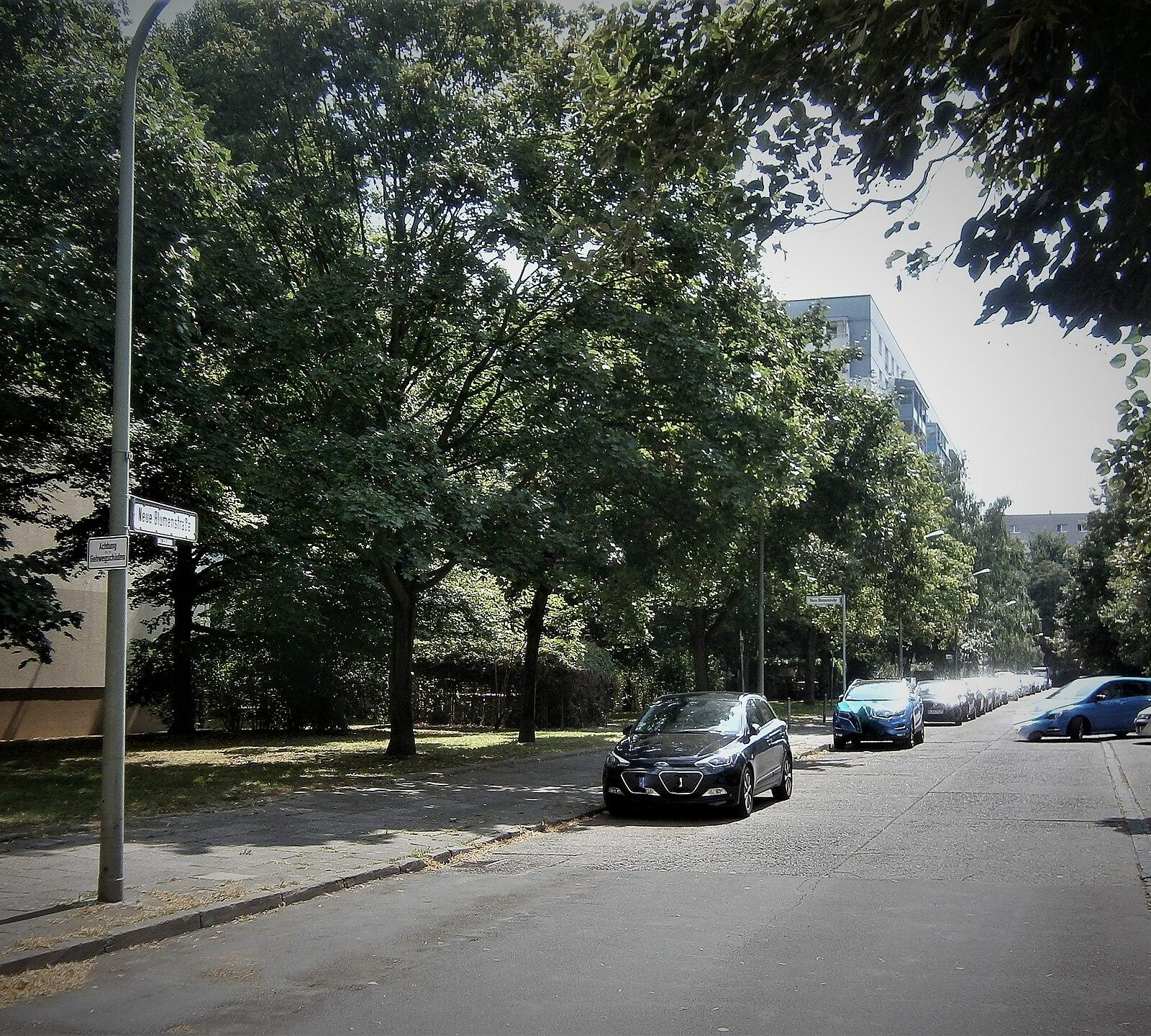
More Mitte residents walked to work or for leisure in June 2026 than in any recorded month since Berlin's city mobility office began tracking pedestrian routes in 2019. That number, a 23 percent year-on-year increase logged by Senatsverwaltung für Mobilität, reflects something anyone who's crossed Monbijoupark on a weekday morning already knows: the neighbourhood has quietly become one of the most active outdoor fitness corridors in the city.
The surge matters for a specific reason. Hormonal health researchers, gym physiologists and general practitioners have spent much of 2026 emphasising the compounding benefits of low-to-moderate daily movement, thirty minutes of brisk walking triggers measurable cortisol regulation and supports cardiovascular baseline fitness without the recovery cost of high-intensity training. As hormone therapy conversations have intensified among readers this year, so has curiosity about accessible, free alternatives to clinical intervention. Walking trails in a dense urban district like Mitte offer exactly that. Consult your local GP or a Berlin-based sports medicine practitioner before treating any health programme as medical advice.
The Short Routes: Flat, Accessible, Worth Your Lunch Break
Start with the Monbijoupark loop. The full perimeter along the Spree riverbank from Oranienburger Strasse to the Bodemuseum footbridge and back runs 1.8 kilometres on sealed and packed-gravel paths. Difficulty: easy. Elevation change is negligible, under four metres across the entire circuit. It takes roughly 22 minutes at a moderate pace and is wheelchair-accessible for most of the route. The park opens at 6 a.m. and closes at 10 p.m. in summer, managed by Grünflächenamt Mitte, which completed a path resurfacing project along the western edge in April 2026.
For a slightly longer flat option, the Invalidenstrasse canal-side stretch from the Natural History Museum (Museum für Naturkunde) west toward the Nordhafen basin covers 2.4 kilometres one-way on a dedicated pedestrian-and-cyclist lane. Return the same way for a 4.8-kilometre easy route with almost no gradient. This corridor connects to the broader Berliner Mauerweg network, which adds navigational options for those who want to extend into Wedding or Gesundbrunnen without losing the flat profile.
Intermediate and Longer Circuits for Serious Walkers
Step up the challenge with the Volkspark Humboldthain circuit, technically just north of Mitte's administrative boundary in Wedding but reachable on foot via Brunnenstrasse in under fifteen minutes from Rosenthaler Platz. The park's main outer loop runs 3.2 kilometres with two genuine climbs: the Flakturm hill rises 78 metres above street level, making it the most demanding gradient available within reasonable walking distance of Mitte's centre. Round-trip from the S-Bahn Humboldthain entrance gate: allow 55 minutes at a brisk pace. Difficulty: moderate. The Berlin-based hiking app Komoot rates it 2 out of 5 for difficulty, though the summit section earns a higher sweat premium in July heat.
The most ambitious local option is a combined route that strings together Monbijoupark, the Hackescher Markt riverside promenade, the Museumsinsel perimeter path, and the Lustgarten before looping back through the Nikolaiviertel toward Alexanderplatz. Total distance: approximately 7.1 kilometres. Difficulty: easy-to-moderate, with the length being the primary challenge rather than terrain. The route crosses seven pedestrian bridges and passes four public drinking fountains, a practical detail worth knowing in temperatures that reached 34 degrees Celsius in central Berlin on July 1, 2026.
Gear is straightforward. Trail shoes are unnecessary for any of these routes; road trainers or supportive sneakers are sufficient. The Berliner Wasserbetriebe Trinkwasserbrunnen map, updated quarterly and available free at berlin.de, lists 200-plus public water points across the city, with seven falling along the Mitte extended circuit described above.
For structured guidance, the ADFC Berlin chapter and the Grünflächenamt Mitte jointly publish a seasonal walking guide distributed free at the Rathaus Mitte on Karl-Marx-Allee and available for download since May 2026. It maps seventeen routes across the district with colour-coded difficulty ratings, estimated calorie expenditure per route, and surface condition notes updated after major weather events. Pick one route. Walk it twice before you rank yourself ready for the next. Your cortisol will thank you before your fitness app does.